
The Highest-Resolution Image
of Earth
Ever Made
+Video
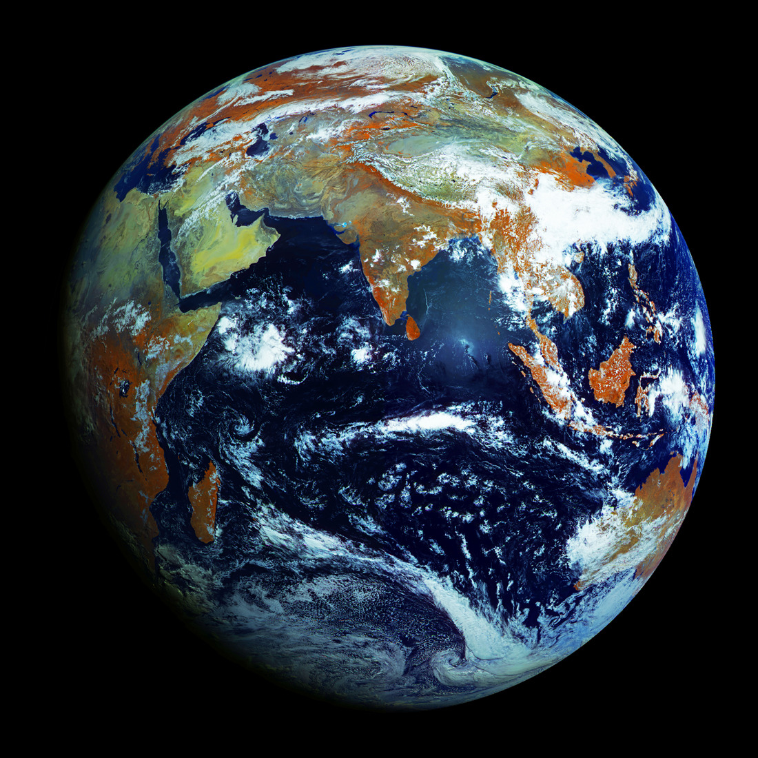
Unlike NASA's Blue Marble - Which is a composite made from many different photographs - this is a portrait of Earth taken in one single shot.
It's the highest resolution image of our home planet, 121 megapixels. That's an amazing 0.62 miles per pixel.
It was taken by Russia’s latest weather satellite, the Electro-L, which is orbiting Earth on a geostationary orbit 36,000 kilometers above the equator, sending photographs of the entire planet every 30 minutes.
The image combines four light wavelengths, three visible and one infrared. The three reflected sunlight bands can simulate a conventional red-green-blue color picture. The near infrared channel (orange in the image) is a vegetation indicator, since plants reflect near-ir as well as green.
A composite made from many different photographs
Published on Apr 20, 2012
A
timelapse of Planet Earth from Electro-L, a geostationary satellite
orbiting 40000km above the Earth. The satellite creates a 121 megapixel
image every 30 minutes with four visible and infrared light wavelengths.
The infrared light appears orange in these images, and shows
vegetation. The images were obtained beginning on May 14th, 2011 and
end on May 20th. The images are the largest whole disk images of our
planet, the resolution is 1 kilometer per pixel. The images are
"masked" by a circular barrier that blocks out the light of the Sun and
other stars. This is to prevent damage to the camera by exposure to
direct sunlight. The images have been interpolated (blended) to create a
smooth animation.
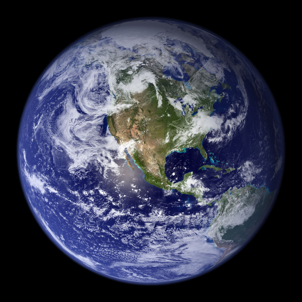
Planet Earth's Northern Hemisphere
👇 📺 👇
No comments:
Post a Comment